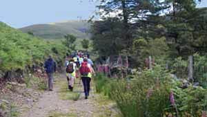
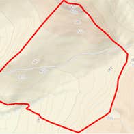
A-B. Starting from the mapboard follow the red (and blue and purple) arrows along the sand road that goes left at the exit from the car park. The blue arrows are for an ‘out and back’ walk to the Sgilloge lakes, the purple arrows for the longer and harder Coumduala Loop. After 100m pass through a gate and follow the roadway as it swings right and downhill and then turns left onto a track. Joining a sandy road veer left and climb to a gate/stile. Cross the stile and follow the arrows as the loop takes you across the Nire River at a footbridge and then ascends towards Sgilloges Lakes. At the the top corner of a wire fence, the loop turns left onto the top side of the fence. [Note: The Sgilloges Walk turns right here - if you have the time the 30min trek up to, and back from, the lakes is well worth the effort.]
B-C. Follow the red (and purple) arrows along the fence for almost 1km to reach a stream flowing from Coumlara. Cross the stream and follow the arrows along the shoulder of Carrignagower to reach a wire fence. Turn left and after 150m reach The Gap at a gate and stiles. The longer Coumduala Loop goes straight on here - you turn left onto a mountain track.
C-A. You join The Gap Walk (green arrows) on your return to the trailhead. Follow the mountain track as it travels across the shoulder of Carrigeen for more than 1km. Cross a stile and rejoin the purple Coumduala Loop as it descends from your right. Turn left and enjoy the last 300m downhill to the trailhead.
Trail details
- Type:
- Walking Trail
- Location:
- Nire Valley Trails
- Grade:
- Strenuous
- Format:
- Loop
- Length:
- 6.60km
- Ascent:
- 350m
- Dogs allowed:
- No

